Vesuvius today: is it still an active volcano?
Its last eruption was in 1944, but Vesuvius is not extinct: it is quiet, and one of the most closely watched volcanoes in the world. Who monitors it, how, and what it means for visitors.
3 min read Updated October 19, 2026
In short
- Vesuvius is an active volcano at rest: its last eruption was in March 1944.
- It is monitored by the Vesuvius Observatory, founded in 1841 and considered the oldest volcano observatory in the world, now part of INGV.
- The alert level is green; a national emergency plan covers the red zone, 25 municipalities with about 700,000 residents.
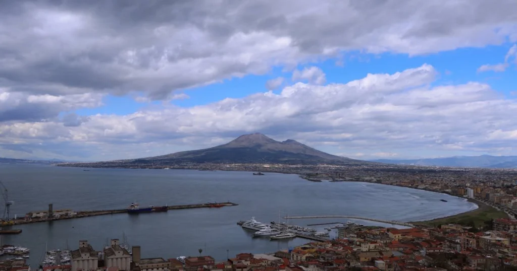
Seen from the bay, Vesuvius looks like a quiet mountain with two peaks: the Gran Cono, the volcano proper, 1,281 metres high, and Monte Somma, the semicircular ridge that wraps around it to the north. Somma is what remains of an older, larger volcano; the Gran Cono grew inside its caldera.
Extinct or active?
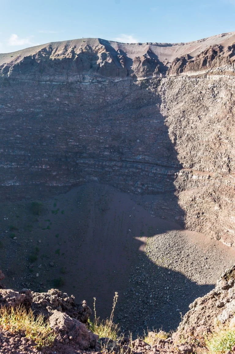
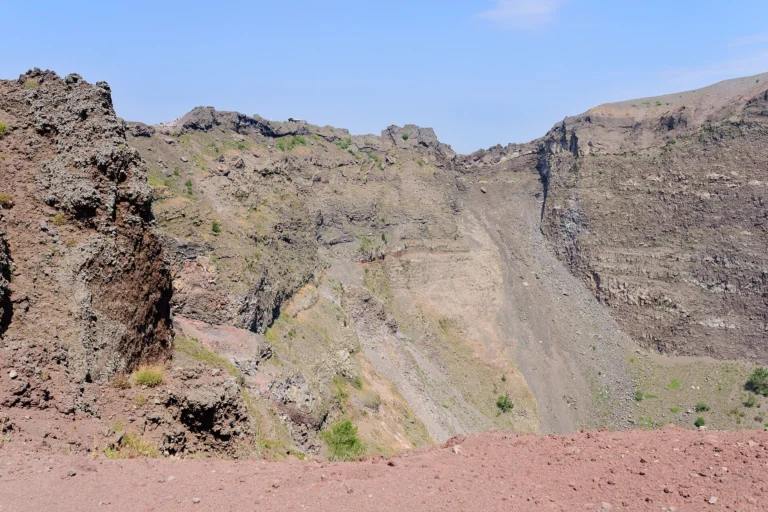
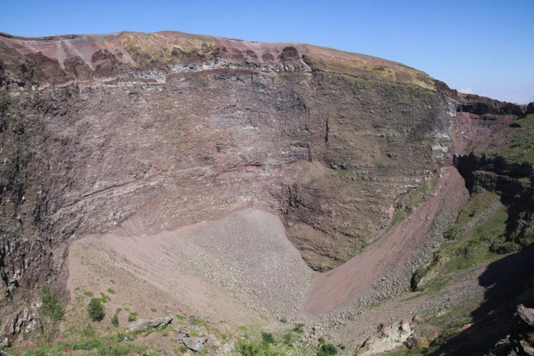
Vesuvius is an active volcano. Its last eruption began on 18 March 1944 and lasted a few days; since then the vent has been blocked and the volcano is in what volcanologists call a state of rest. At the crater you can still see fumaroles, small puffs of steam on the inner walls, and instruments record low-energy earthquakes.
Throughout its history Vesuvius has alternated long periods of rest with phases of activity. Before the eruption of 1631 it had been quiet for almost five centuries; from 1631 to 1944 it erupted almost continuously. We cover that in The eruptions of Vesuvius after Pompeii.
Who watches it
The world’s first volcano observatory was built on Vesuvius. The Vesuvius Observatory was founded in 1841 by Ferdinand II of Bourbon; its historic building on Colle del Salvatore, along the road up to the crater, is now a museum. The Observatory is a section of Italy’s National Institute of Geophysics and Volcanology (INGV) and, from its base in Naples, monitors Vesuvius, the Campi Flegrei and Ischia.
Monitoring runs day and night and relies on several networks of instruments:
- seismic: dozens of stations record even the smallest earthquakes;
- geodetic: GPS and satellites measure ground movements of just a few millimetres;
- geochemical: the composition and temperature of fumarole gases are analysed;
- volcanological: direct observation, cameras and thermal cameras.
The data are published in regular bulletins that anyone can read on the Observatory’s website.
The emergency plan
About 700,000 people live on the slopes of Vesuvius. A national emergency plan, run by the Civil Protection Department, covers them. The red zone includes 25 municipalities in the provinces of Naples and Salerno plus some districts of Naples: it is the area exposed to pyroclastic flows and the area where falling ash could make roofs collapse. For these areas the only protective measure planned is a precautionary evacuation.
The reference scenario is an eruption similar to that of 1631, less violent than AD 79, which the plan considers unlikely. Moving from one alert level to the next (green, yellow, orange, red) depends on what the instruments record; in October 2026, as we write, the level is green, meaning no significant change.
Is it safe to climb?
Yes. The crater is reached on the Gran Cono trail, run by Vesuvius National Park, with a timed ticket. The trail closes in strong wind or when there is a fire risk, not because of volcanic activity: so before you go it is worth checking the Gran Cono status, which we publish every day at the top of this site.